Southbound A.T. Thru-Hikes: A Primer
Nov 6, 2025

Nov 6, 2025

While the vast majority of Appalachian Trail (A.T.) thru-hikers choose to hike from Georgia to Maine, a small-but-hardy group of hikers chooses to start at the northern terminus of the Trail. These southbounders, or SOBOs, begin on some of the most technically difficult sections of the entire A.T. but also experience more solitude on their journeys, especially as they enter the southern sections of the A.T. in the fall. Starting a SOBO thru-hike requires some advance planning, so we’re offering guidance to help any aspiring SOBO hikers to have the best possible start to their A.T. adventures.
Learn more about safety and preparing for your hike using our Hiker Resource Library. You can also catch up on our Hiker Preparation series, which covers topics from food storage to picking out where to camp along the Trail.
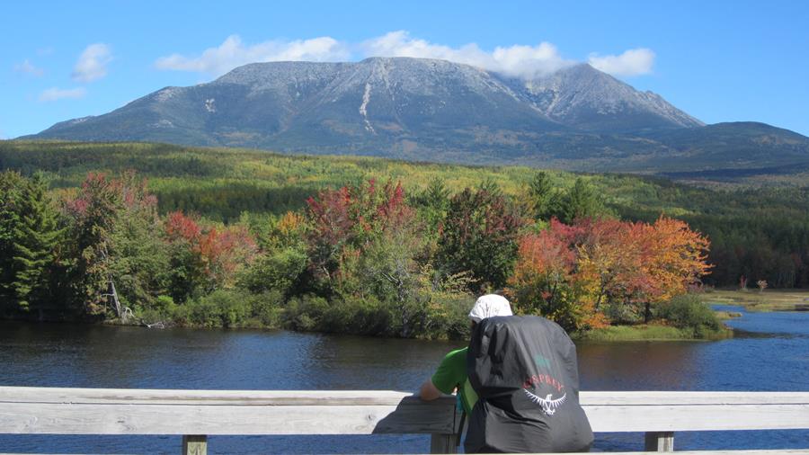
Photo by Emily Chadwick
Home to Katahdin, the northern terminus of the Trail, Baxter State Park is largely funded by a private endowment and managed for “wilderness first, recreation second.” A.T. hikers are guests in the park just like other visitors, and are subject to park rules. The park is purposefully missing amenities like trash cans, running water, stores, or electricity. Arrive prepared with everything you’ll need. And be prepared to spend a full day hiking Katahdin on your summit day — at 4,000 feet of elevation gain, it is the greatest sustained ascent on the entire Trail.
We strongly recommend that you not bring your full pack up Katahdin. Many consider Katahdin as the hardest climb on the whole A.T. and your pack will likely be full with food for one of the Trail’s longest sections between resupplies: the 100 Mile Wilderness. Many SOBOs don’t have their Trail legs yet and the park has reported a concerning increase in SOBOs carrying full packs and needing assistance or even rescue off the mountain.
Instead, take advantage of the day packs available at the Katahdin Stream Ranger Station. By bringing only the supplies you need for one day, you can help prevent your hike from ending on day one!
Other tips for a smooth visit to the park:
The A.T. leaves Baxter State Park when it crosses Abol Stream, ~9 miles south of Katahdin Stream Campground. You cannot camp outside of designated campgrounds in the park and the next A.T. campsite is Hurd Brook Lean-to, another ~4 miles south of the park boundary.
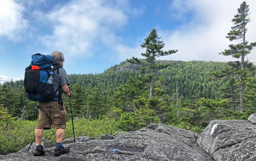
Photo by Laurie Potteiger
After crossing Abol Bridge and the Golden Road, you’ll enter the famed 100 Mile Wilderness. There are no public road crossings for the next 100 miles (hence the name), so there are no opportunities for resupply or leaving the Trail unless you make private arrangements ahead of time. Do not arrange to have food left for you, as unattended food can attract wildlife.
Plan to pack 7-10 days’ worth of food and supplies. Don’t forget to inform friends and family off Trail that you’ll be out of communication during that time — cell reception along most of the Trail in Maine ranges from spotty to nonexistent.
At the southern end of the 100 Mile Wilderness sits the town of Monson. Be sure to stop by the Monson Visitor Center while in town to pick up your A.T. hangtag and chat with staff and volunteers about Trail conditions farther south. The Monson Visitor Center opens for the season each year in June.
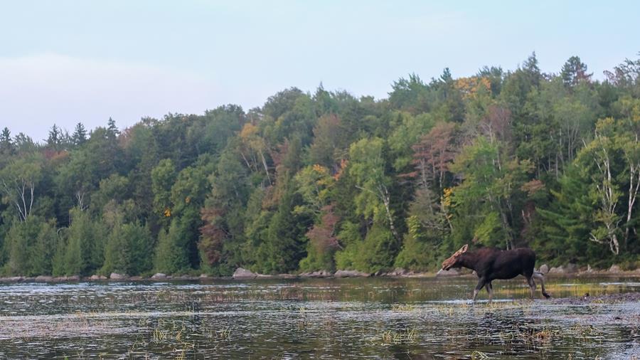
Photo by Lukas Chin
Remote backcountry, beautiful ponds, and stunning vistas make Maine many hikers’ favorite state along the Trail. Maine is also considered by many to be the hardest section of the A.T. due to its rugged terrain and remoteness, making it a tough but rewarding place to start your hike.
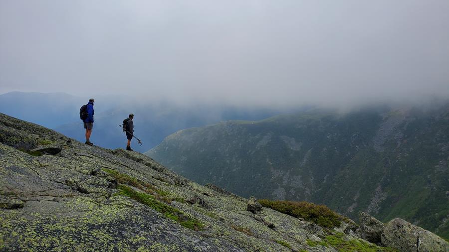
Photo by Ilana Copel
How you apply the seven Leave No Trace principles to your SOBO hike will depend on the section of Trail and time of year. Here are some quick tips:
In addition, always check the weather before heading out of town and be sure to pack the 10 Essentials.
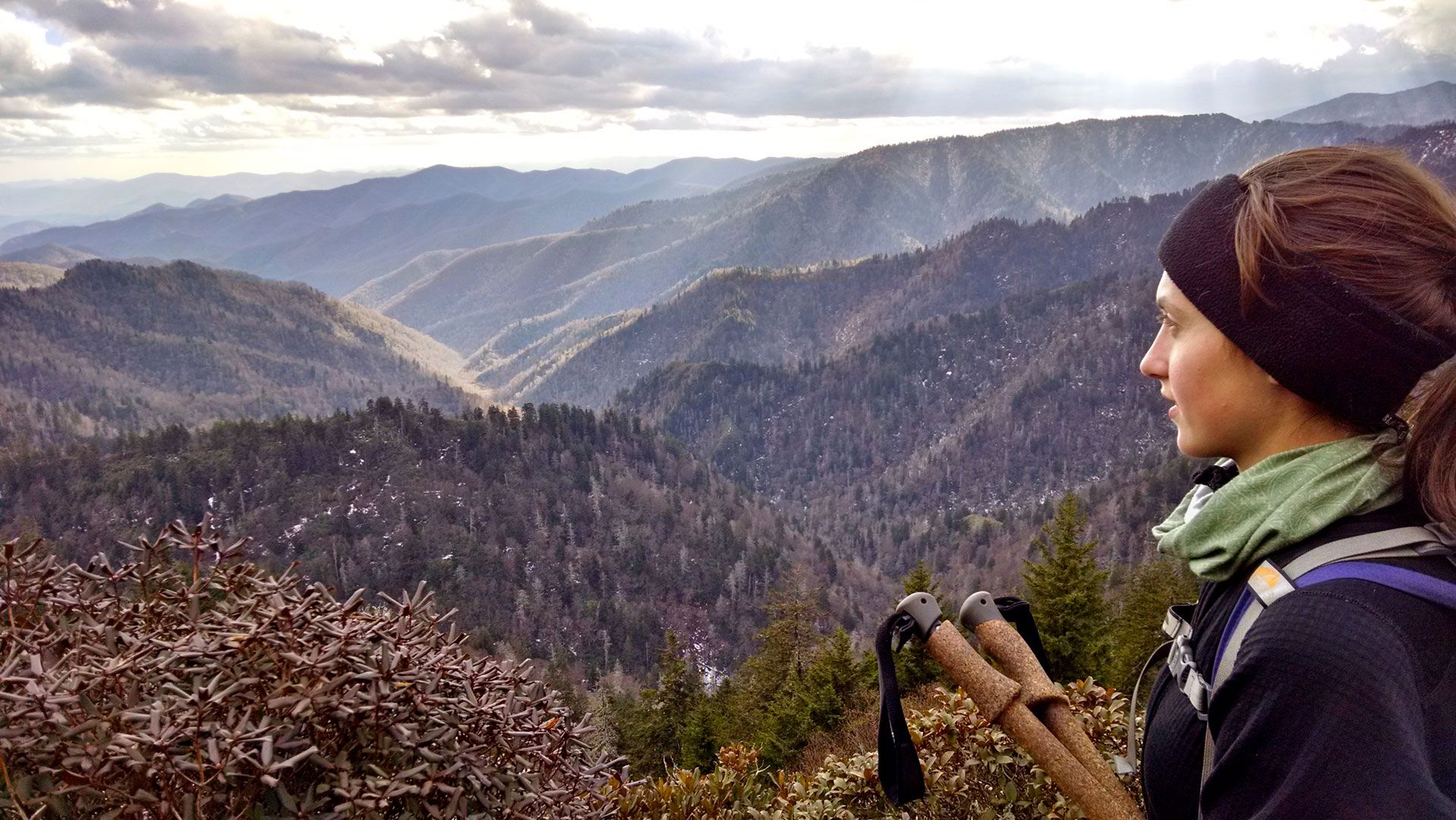
Photo by Christopher Randall
Many SOBO hikers find a great deal of solitude once they reach the southern section of the Trail. Significantly fewer hikers tackle the Trail southbound and the traditional hiking season may have passed by the time you reach southern Virginia. SOBO hikers can take advantage of a less-crowded Trail to connect with nature and enjoy the quiet simplicity of being alone in the woods. Take extra care to stay safe on the Trail, especially if you are hiking alone.
Keep in mind that not all hiker services are available year-round. Call businesses and shuttles ahead of time to make sure they are still open and have a backup plan just in case.
A SOBO thru-hike of the A.T. is a special accomplishment. With proper preparation and perseverance, you’ll soon be standing on top of Springer Mountain and reflecting on your amazing journey. Continue to monitor your start date on ATCamp.org and contact us with any questions.

Photo by Katelyn Bland-Clark

Join the movement to redefine “take a hike” by signing the definition petition today and unlock $1 for the A.T.
Sign the Petition