


Brush up on the basics
Hiking Basics

How do people experience the Appalachian Trail?
The Appalachian Trail (A.T.) is over 2,190 miles long, passes through 14 states, eight different national forests, six national park units and numerous state parks, forests, and game lands. But you don’t have to hike every mile of the Trail to experience its beauty (and toils). People enjoy the A.T. in a variety of ways! Here’s some common lingo.
- Day Hiking: Taking an hour-long amble or all day rigorous hike, but returning home the same day.
- Multi-day Hiking: From backpacking on a one-night overnight trip to section-hiking large portions of the A.T. and becoming a “2,000-miler,” multi-day hikers tackle any stretch of the A.T. short of thru-hiking.
- Thru-Hiking: Hiking the entire A.T. within a single year, oftentimes within 5 ½ to 7 months; another avenue to become a “2000-miler.”
Learn More
Sanitation
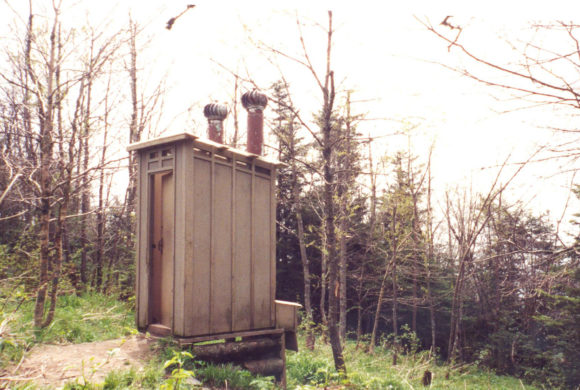
Although you will get dirty backpacking, it shouldn’t be an unsanitary experience. Flush toilets and showers don’t exist on the A.T., but you can still prevent the spread of Norovirus, a highly contagious illness, and you can treat things like blisters to prevent infection.
Learn More
Diseases
Some critters on the A.T. are capable of transmitting diseases. Learn about these diseases and how to minimize your risk before setting off on your hike.
Learn MoreHiking Safety
Report an incident
While the Appalachian Trail is a relatively safe place to visit, that does not mean that there are not potential dangers while you are hiking or camping. If you see something, say something — this will help us keep the A.T. as safe as possible for our visitors.
Food, Water & Gear

Learn More
Gear
The equipment, clothing and footwear you will need depends on the season and the length and location of your hike.

Learn More
Food
You should carry some kind of food and water on even the shortest A.T. hike, but anything longer than a short jaunt presents special considerations.

Learn More
Water
Hikers will encounter springs, streams and, occasionally, faucets, pumps and spigots on the A.T. Water from any of these sources should be treated prior to consumption.
How is the A.T. marked?
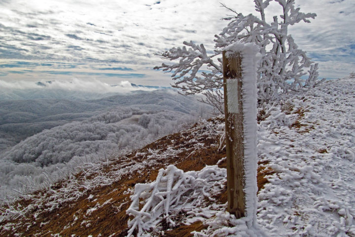
The A.T. is marked for daylight travel in both directions using a system of white “blazes,” or a rectangle of white paint 2 inches wide and 6 inches high. Blazes are found most often on trees, occasionally on posts and rocks.
Piled rocks called “cairns” are also used to identify the route above treeline. Side trails and shelter trails use blue blazes. Distance between blazes varies, but if you have gone a few hundred yards without seeing a blaze, stop. Retrace your steps until you locate a blaze. Then, check to make sure you haven’t missed a turn. When your map or guidebook indicates one route, and the blazes show another, follow the blazes.
In the 25 federally designated wilderness areas the A.T. passes through, blazing is intentionally much less frequent and signage is minimal to retain the wilderness character of the land. Blazes may be 1/4 mile apart. Side trails may not be marked. Carrying a map and compass are especially important in these areas, found in Georgia through Virginia, and Vermont and New Hampshire.

Single White Blazes
White blazes mark the A.T. and may be located on trees, rocks, posts or guardrails, among other places.

Double White Blazes
Two white blazes, one above the other, signal an obscure turn, route changes, an incoming side trail or other situation that requires you to be especially alert to changes in direction. Sometimes the two blazes will be offset in the direction of the turn.

Rock Cairns
These rock piles identify the route above treeline and where snow and fog may obscure paints blazes.
Discover More
By Jennifer Pharr Davis
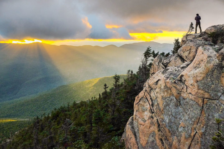
Scenic Views
Wide-open vistas beyond the footpath offer respite and are essential to the Wild East.
Hiking Tips
What to Know Before You Go
Wide-open views, crisp air and solitude make for a cool hike, but when winter hiking, being prepared is key.

By Marina Ritchie
Wild Skyway
Wherever you are on the Appalachian Trail, birds offer sweet companionship. Yet, as hiker numbers soar, bird populations tumble.