Learn More
Land and Resource Management
Focus in this arena promotes healthy, functional connected lands that support native biodiversity and aid resilience to climate change impacts.
The 250,000-acre corridor of the Appalachian Trail (A.T.) and its surrounding landscape are rich in natural and cultural resources.
Running primarily along the Appalachian highlands, A.T. lands protect headwater streams for major East Coast watersheds. These high elevation lands also provide critical habitat for plants, animals and fungi, including hundreds of rare species.
Tools that guide A.T. Cooperative Management partners in their work include policies that address resource management, land protection, cultural resources, and non-hiking recreational uses.
Natural Resource Management

The Appalachian Trail Conservancy (ATC), the National Park Service (NPS), the U.S. Forest Service (USFS), as well as other agencies and private organizations, work cooperatively to monitor and care for the natural resources and scenic beauty that people expect from the A.T experience.
The direct program of work and scope of care for natural resources includes:
- Rare, threatened and endangered species monitoring
- Non-native, invasive species identification and management
- Maintaining early successional habitats for pollinators and ground-nesting birds
- Visual Resource Inventory
Policies Guiding Resource Management for the A.T.
Appalachian National Scenic Trail Resource Management Plan ![]()
Open Areas and Vistas 1985 ![]()
Pest Management (LMPG) ![]()
Prescribed Burn 2018 ![]()
Vegetation Management 1989 ![]()
Timber Management 2008 ![]()
Rare, Threatened and Endangered Species ![]()
Resource Management 1988 ![]()
Invasive Exotic Species 2011 ![]()
Agricultural Use on A.T. Corridor Lands 1996 ![]()
Wildlife Management ![]()
Special and Unique Areas ![]()
A full list of the Appalachian Trail Conservancy’s policies on Conservation and Trail Management can be viewed here: Conservation and Trail Management Policies | Appalachian Trail Conservancy
Program Profile and Resources: Rare Plant Monitoring
Rare Plant Monitoring
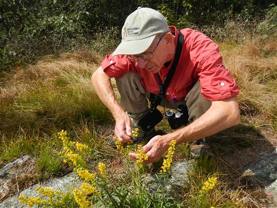 By protecting rare species, and biodiversity in general, the ecosystems in which they occur remain healthier and more resilient to changing environmental conditions. A.T. lands support populations of nine federally-listed and 360 state-listed species of rare plants and animals. Equally important, the A.T. corridor is home to more than 80 globally rare species.
Populations of rare species can be damaged or die out because of threats such as invasive species, poaching, recreational impacts, development, and climate change. Through sufficient monitoring the ATC and land managers can adjust management actions to best protect these species to ward off extinction.
Volunteers are coordinated through A.T. Maintaining Clubs and directly through ATC.
Program Profile and Resources: Non-Native, Invasive Species Management
A.T. Management partners rely on early detection and rapid response to stop the spread of non-native, invasive species.
Once invasive plants are identified along the Trail, the ATC and volunteers organize work projects to control the highest priority infestations. Priority is given to areas where rare plants or other sensitive resources occur and where new invasive plant infestations can be easily controlled before they spread.
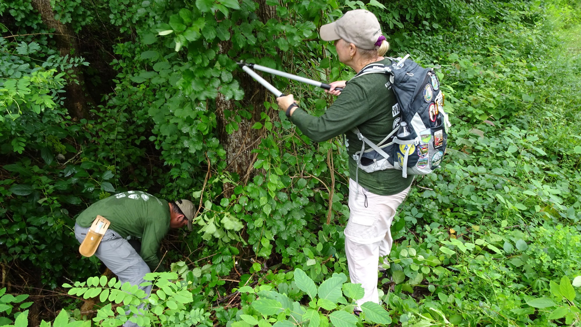
By invading healthy ecosystems, invasive plants can replace complex forest communities with single species monocultures and can reduce the diversity of food supply and habitats available for native wildlife. Invasive species can interfere with essential ecosystem processes such as nutrient cycling, water filtration and fire regimes. Invasive species diminish the ability of ecosystems to sustain economic activities like forestry, fishing and agriculture, and they reduce the aesthetic value of a naturally diverse landscape.
Non-native invasive species can be spread by water, wind and animals, but seeds can also be transported on the shoes, clothing, and equipment of Trail visitors. A.T. partners and their volunteers should be aware of how hiking and volunteering in different areas can contribute to the proliferation of invasive species.
Resources
The ATC and its partners rely on the Early Detection and Distribution Mapping Systems (EDDMapS) website. This user-friendly system allows for the collection and use of data by all of its partners.
You can also check out these online resources to learn more about invasive species on the A.T.:
Center for Invasive Species and Ecosystem Health
Playing Smart Against Invasive Species Video
Invasive Plant Atlas of New England
Plant Invaders of Mid-Atlantic Natural Areas
A Field Guide for the Identification Non-native Invasive Plants of Southern Forests
A Management Guide for Invasive Plants in Southern Forests
Southern Appalachian Cooperative Weed Management Partnership
APPA 2023-2027 Pesticide Use Program Compliance: The National Park Service conducted a programmatic review of routine integrated pest management strategies for the calendar years 2023-2027, documenting the environmental compliance review for routine pesticide use on Appalachian National Scenic Trail (APPA) lands. This document is intended to facilitate expedient National Environmental Policy Act and National Historic Preservation Act documentation for ongoing and recurring work that is expected to result in predictable and non-significant impacts. Determination of project eligibility for this programmatic categorical exclusion must be made by the APPA Integrated Resource Management Coordinator or APPA Environmental Protection Specialist to ensure appropriate levels of review and resource protection. Please contact your regional Appalachian Trail Conservancy representative to learn more about how to plan and submit any invasive species management projects (manual, mechanical or chemical) on APPA lands.
Program Profile: Visual Resource Inventory
Taking in and enjoying the view is a fundamental part of the A.T. experience. The views along the trail are comprised of both conserved A.T. corridor lands, and land outside of this corridor. To document and evaluate these views, ATC staff and volunteers have begun the Visual Resource Inventory (VRI) process. The VRI is done across one or two states each year.
Visual resources are the natural setting and all other visible objects on and including the landscape—everything the eye can see. As a National Scenic Trail, high quality visual resources are an important component of the A.T. experience. Landscapes around the Trail are changing, and not necessarily for the better. Renewable and conventional energy development, urban and suburban growth, and climate change are some of the pressures threatening the views we cherish. The data we collect could be used to enhance interpretive materials for Trail visitors, to inform viewpoint maintenance, and mitigate potential visual impacts of projects along the Trail corridor, such as proposed wind farms or warehouse developments.
The VRI is a programmatic way to document and assess the many and varied views across the A.T. While close to 1,400 views have already been identified Trail-wide, there are still many more to discover. The intent of the baseline inventory is to assess each of both the established and newly discovered views using a framework developed by the NPS.
First, data is collected in the field by a team of 4-8 people who hike to the view, take standardized photos, describe the view, and evaluate the scenic quality of the view. The second half of the process is completed in a meeting, with a variety of stakeholders and local experts weighing in on the scenic and cultural significance of each view and rating it accordingly. Volunteers are invited to participate in both parts of this process.
Other Natural Resource Monitoring Opportunities
The ATC and its management partners benefit from individuals and communities engaged in crowdsourced natural resource data collection. The following projects offer informal ways for people to give back to the natural resource management program as time allows.
iNaturalist, Flowers and Fauna along the A.T.
eBird
Apply your birding skills to help track bird populations and migration patterns using eBird.
Land Protection Efforts
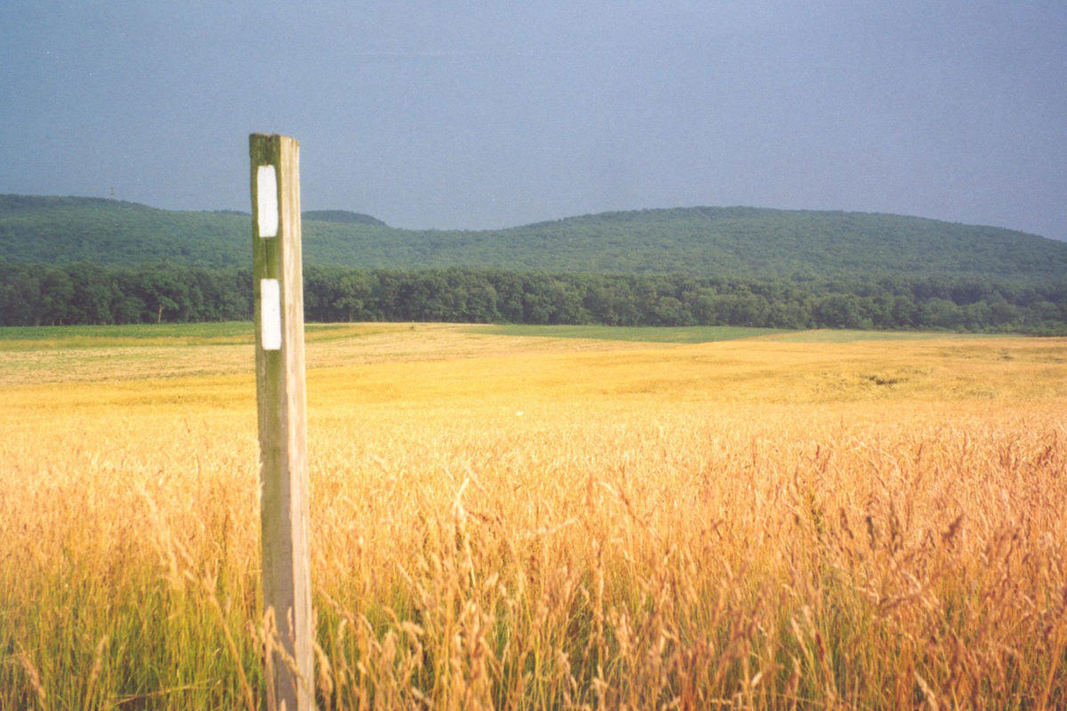
A.T. Partners closest to the Trail are often the first to identify incompatible developments that could compromise the A.T. experience. Individuals and A.T. Maintaining Clubs also stand as monitors for the A.T. corridor and champions for visual resource protection.

Land Protection Related Policies and Resources
Road Closures and Access Control (LMPG) ![]()
Resource Management 1988 ![]()
Open Areas and Vistas 1985 ![]()
Land Protection Policy 2009 ![]()
Corridor Monitoring-Special Care Principles 1981 ![]()
Agricultural Use on A.T. Corridor Lands 1996 ![]()
Climate Change Policy (Revised May 2016) ![]()
Impacts of Development and Energy Policy 2024![]()
A full list of the Appalachian Trail Conservancy’s policies on Conservation and Trail Management can be viewed here: Conservation and Trail Management Policies | Appalachian Trail Conservancy
Cultural Resource Management
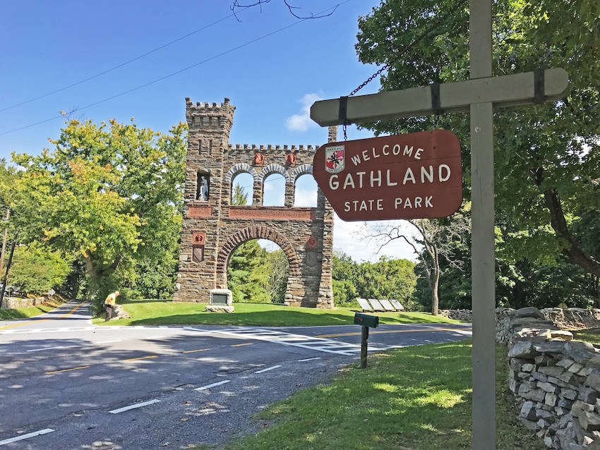
Depending on A.T. Maintaining Club capacity and interest, the organization may be involved with the NPS/USFS and ATC in the care of cultural resources. As proposed projects are reviewed along the length of the Trail they are assessed for section 106 and Historic Preservation Act Review
Agricultural Use on A.T. Corridor Lands 1996 ![]()
Incidentally-Acquired Structures and Dams 1989 ![]()
Cultural Resources 1989 ![]()
A full list of the Appalachian Trail Conservancy’s policies on Conservation and Trail Management can be viewed here: Conservation and Trail Management Policies | Appalachian Trail Conservancy
Non-Hiking Recreational Uses
Multiple policies relate to non-hiking recreational uses of the A.T.
Non-hiking Recreational Uses Policies
A.T. Experience and Non-Hiking Recreational Uses 1997![]()
A full list of the Appalachian Trail Conservancy’s policies on Conservation and Trail Management can be viewed here: Conservation and Trail Management Policies | Appalachian Trail Conservancy
