The First Sentinel Landscape along the Appalachian Trail

Aug 1, 2024


Katie Hess
Aug 1, 2024

Pennsylvania has a reputation of not having a lot going on between Pittsburgh and Philadelphia. I’m here to tell you that it simply isn’t true. Contrary to the “Pennsyltucky” stereotype, there is a rich array of wildlife, experiences, and people across my home state, especially along the broader Trail corridor in south-central Pennsylvania that makes up part of the larger Appalachian Trail landscape.
Here, the Kittatinny Ridge carries 160 miles of the Appalachian National Scenic Trail through Pennsylvania. The remaining 70 A.T. miles in the state traverse across the South Mountain, which is the northern terminus of the Blue Ridge Mountains and the Cumberland Valley, part of the South Mountain Conservation Landscape and one of Appalachian Trail Conservancy’s landscape conservation initiatives.

Kittatinny Ridge
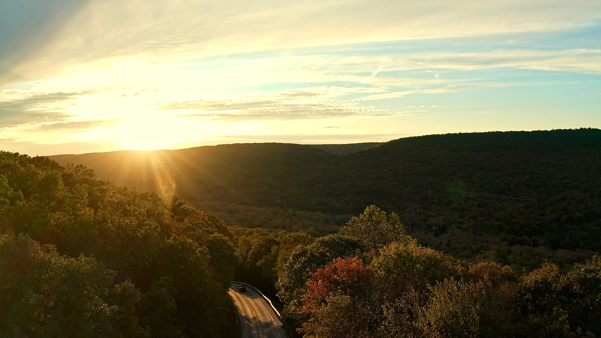
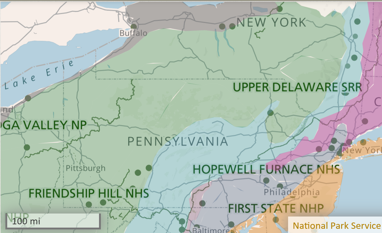
Spend time in the South Mountain landscape and you will see a convergence of different geology types and soils, wildlife, culture, and microclimates. The Kittatinny puts you firmly in the ridge and valley ecoregion – raising you up to a rocky ridgeline. To the west are mountains folding and refolding over themselves, while the east slopes signify transition to the rich soils of Piedmont ecoregion. This place is one of confluence, where diverse ecosystems converge to create a landscape that is unique and irreplaceable.

This National Park Service map shows the confluence of ecoregions in the South Mountain landscape.
The Kittatinny Ridge is also a place where conservation, working lands, and national defense interests converge and was designated in May 2024 as the first Sentinel Landscape in Pennsylvania, and the first that includes a section of the A.T. Each Sentinel Landscape is anchored by at least one high-value military installation and contains high priority lands for the U.S. Department of Agriculture, Department of Defense, and Department of the Interior.
Ultimately, the initiative brings together federal agencies, state and local governments, and non-governmental organizations. These groups then work with willing landowners and land managers on a voluntary basis to advance sustainable land use practices that mitigate climate change impacts and improve sustainable land and water management practices around military installations. In partnership, the program yields a greater cost-share at a wider-scale and with broader stakeholder buy-in.
The Kittatinny Ridge landscape is home to one of the most biodiverse regions of eastern North America. The landscape features numerous natural areas, farmlands, historic places, outdoor recreation opportunities, and diverse building patterns and populations. Known as “The Ridge,” it is a prominent part of the Appalachian Mountains in Pennsylvania, encompassing 1.98 million acres and spanning 250 miles from northern Maryland to New York’s Catskill Mountains.

The area included in the Kittatinny Ridge Sentinel Landscape comprises nine counties and more than 150 municipalities. An ecological superhighway, it is a globally important bird migration route and is also a critical clean water source, helping to provide drinking water to more than 500,000 Pennsylvanians by hosting 17 reservoirs.
Primarily unbroken forested ridgeline that is privately owned, The Ridge gives way to hillsides and valleys that are central producers to Pennsylvania’s rural economy. Thousands of acres of working forests feed the renewable timber industry, and valleys feed people and industries with some of the best farmland.
With lots more potential, this landscape has already contributed to the state’s $17 billion outdoor recreation industry through its many state parks, forests, and game lands along with federal public lands like the Appalachian Trail.
The Ridge is key to military readiness, as the landscape hosts several military facilities, among them Letterkenny Army Depot, Carlisle Barracks, and the Naval Support Activity in Mechanicsburg. It is home to the nation’s busiest National Guard training center, Fort Indiantown Gap (FIG) and regularly hosts important personnel from all domestic military branches as well as foreign militaries, law enforcement, and local, state, and federal agencies.
The installation is home to several schools, including the Eastern Army National Guard Aviation Training Site, the 166th Regiment Regional Training Institute, the Regional Equipment Operators Training Site, the Lightning Force Academy, and the Northeast Counter Drug Training Center. One of the major trainings that FIG hosts is Warfighter, a simulated exercise designed to train and evaluate Army division-sized elements on mission command in large-scale combat operations. Further, FIG provides critical flight training on the Army’s cargo and utility helicopters.
The rural landscape surrounding the installation is especially important to this aviation training because many nighttime training missions rely on dark skies. Incompatible development and habitat fragmentation threaten this globally significant resource and its vital military capacities. Much of the land immediately east, south, and north of FIG is unprotected and faces high land development pressures due to proximity to major transportation corridors.
The same strategic location and large open spaces that make the Ridge so valuable for military readiness also make it a popular region for trucking, warehousing, e-commerce and shipping, solar and wind energy development and distribution infrastructure, as well as residential and commercial development. Land cost is relatively low and lack of zoning along much of the Ridge has resulted in sprawling development, overtaxed infrastructure, and potentially disruptive energy projects. Development encroachment poses noise, light, and tall-structure risks to aviation training missions and threatens the Ridge’s globally significant natural resources and climate resilience capacity.
Although the Kittatinny Ridge faces pressures, the Sentinel Landscape designation will bring new federal partners and resources, enhance landscape stewardship, help mitigate threats to military readiness, and strengthen the work of existing partners while creating opportunities for new partnerships and unlocking innovative resources.The ATC was proud to support the Kittatinny Ridge Sentinel Landscape application through our Landscape Conservation Program and in collaboration with many local and state partners. We look forward to accelerating our existing conservation and community work along The Ridge and working in collaboration with the Sentinel Landscape partners to ensure a vibrant and sustainable future for the people, natural lands and waters, recreational and historical resources, and military operations that share this critical and vibrant part of Pennsylvania.
Get the latest A.T. news, events, merchandise, and sneak peeks delivered directly to your inbox.