From White to Yellow Blazes: Monitoring the A.T. Corridor Boundary

Jul 15, 2022

Jul 15, 2022
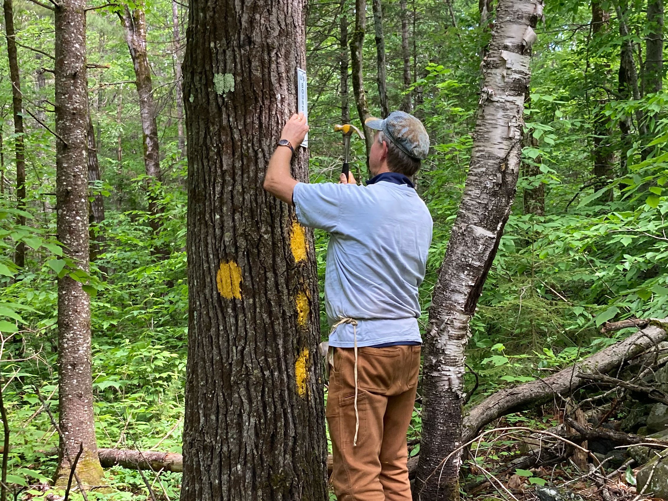
When I first started following the white blazes that mark the Appalachian Trail (A.T.), I had no idea what went into protecting all 2,194+ miles. In addition to the footpath itself, there is a beautiful patchwork of public lands that forms what is known as the A.T. corridor. It extends anywhere from just the 1,000 feet near the footpath to several miles on either side, which serves as a protective shield of sorts. In order to keep that shield strong and preserve the Trail and the hiking experience that thousands enjoy every day, it is vital that the boundary lines of the A.T. are properly maintained.
Maintaining A.T. boundary lines is vital for protecting the hiking experience. Photo by Horizonline Pictures.
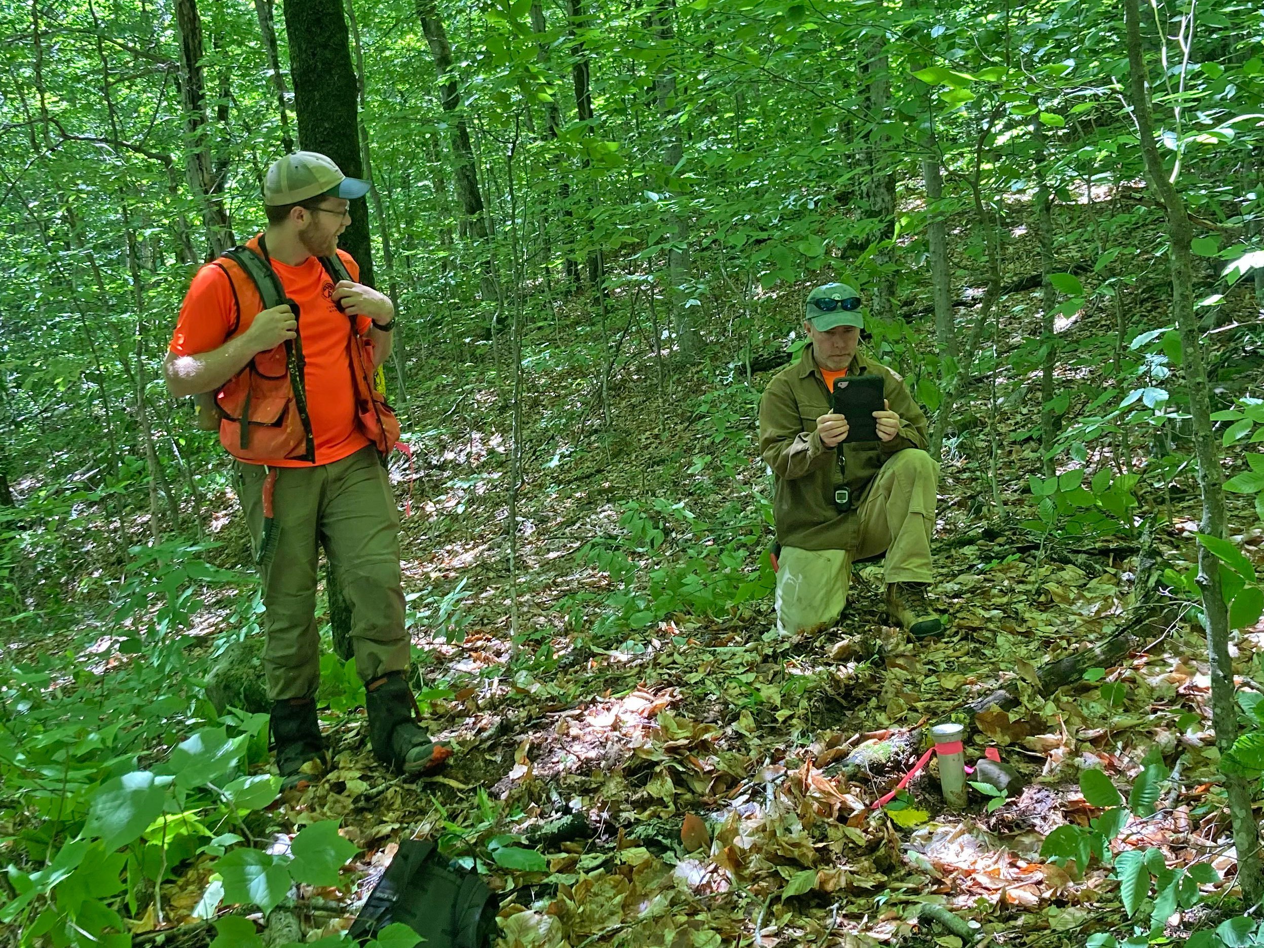
I recently got an up-close look at what goes into monitoring the boundary of the A.T. corridor. In June, I participated in a boundary monitoring day with several Appalachian Trail Conservancy (ATC) co-workers and our partners at the Dartmouth Outing Club (DOC), the Trail Club that maintains the A.T. in New Hampshire from Kinsman Notch to the Connecticut River. Our task was to check on a short stretch of the A.T. corridor boundary line near Ore Hill.
We set off from the trailhead and hiked south on the A.T. for about a half mile before Dan Hale, ATC Natural Resource and Land Stewardship Manager for the Northeast and our fearless leader for the day, stopped the group at a seemingly random turn in the Trail. Glancing at his GPS, he casually said, “It should be over here,” and then led us off the well-worn path.
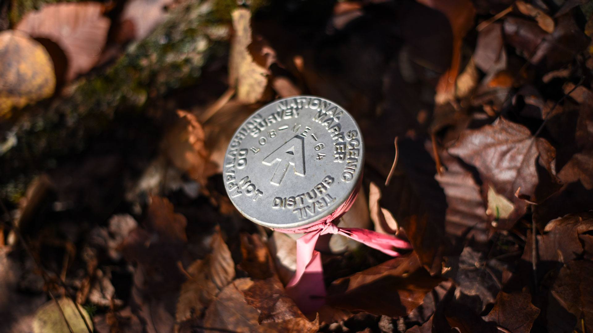
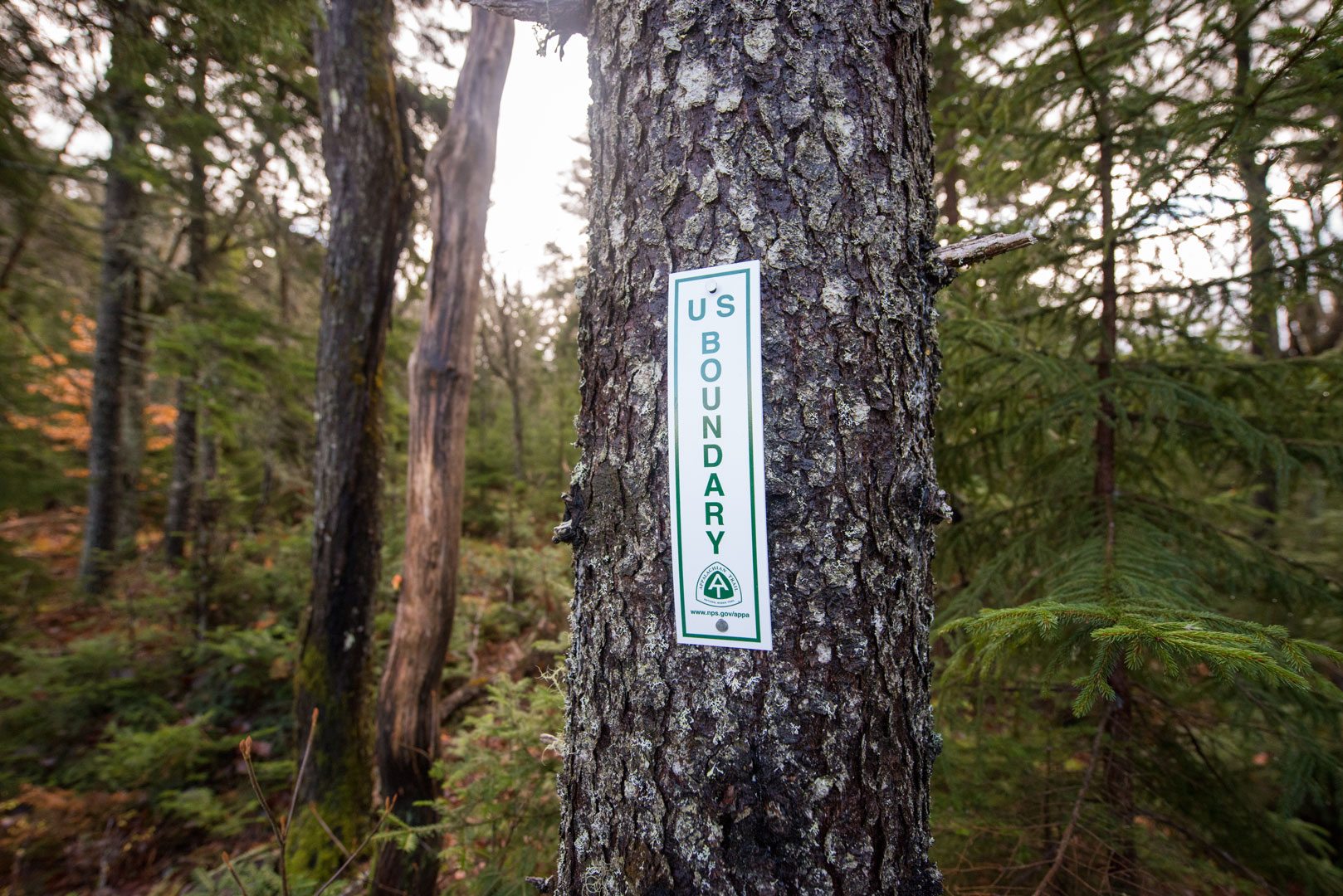
An A.T. boundary monument. Photo by Horizonline Pictures.
The boundary line is marked using a series of survey markers that we call “monuments,” typically aluminum caps, all originally placed by professional surveyors and marked with identification numbers. When the surveyors first place the monuments, they paint three nearby trees with yellow blazes to pinpoint the location of each monument — these are appropriately called “witness trees.” Equally important (but less whimsically named) “line trees” are blazed along the A.T. corridor boundary with distinct types of blazes according to where they stand in relation to the boundary line.

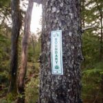
Left: A “witness tree” marks the location of a nearby A.T. boundary monument. Right: “Line trees” help mark the corridor boundary and help lead to the location of the next witness trees and monument.
After a few minutes, our group saw the tell-tale yellow paint of a witness tree and found our first monument lightly buried under some duff (leaves, twigs, and other dead plant material). While Dan explained the GIS app used by the boundary program, we repainted the blazes on the witness trees and cleared more debris from around the monument. One of the witness trees had fallen, a reminder that the forest will always continue to change around the Trail.
As I began to understand the language of boundary work — blazing patterns, a reintroduction to basic compass skills (aided by a GPS app), etc. — it began to feel like a treasure hunt, and there was excitement with each monument found. As we walked between monuments, we also cleared a visual path between line trees. By the time we reached the final monument atop a slight rise, we could look back with satisfaction at a cleared line through the woods marked with fresh yellow blazes.
The four monuments we visited that day were in good shape and easy to find. However, things left alone in the woods tend to slowly fade back into the landscape, which is why the A.T. Boundary Program is so important. Monuments get damaged, witness trees fall, and occasionally there is an encroachment that must be addressed. These can range from minor problems such as a neighbor dumping brush and debris inside the Trail corridor to more serious concerns like new unauthorized road access or timber theft. Trail Club volunteers, the ATC, and agency partners work together to address encroachments, helping ensure the integrity of the A.T. corridor moving forward.
Active boundary monitoring and maintenance is critical to protecting the Trail and Trail landscape. Without it, the Trail becomes susceptible to all the intrusions of society that we seek to leave behind when we hoist our packs and head into the woods. Through the work of the ATC, its partners, and the corps of volunteers protecting the Trail, the shield of the A.T. boundary will remain strong for years to come — and so will the A.T. experience it helps protect.
Interested in helping to protect the A.T. and potentially spend some time on your own boundary treasure hunt? Become a volunteer with the A.T. Boundary Program by visiting our website to learn more or emailing info@appalachiantrail.org.

Join the movement to redefine “take a hike” by signing the definition petition today and unlock $1 for the A.T.
Sign the Petition