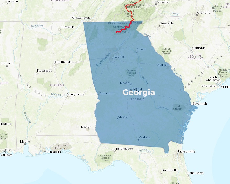
78.3 MILES
A.T. Miles in State
A.T. Miles in State
RATING: 2-7
Easy to Challenging
Easy to Challenging
2510′-4461′
Elevation Range in Feet
Elevation Range in Feet
 Annually, almost 4,000 inspired thru-hikers began their ambitious journeys at Georgia’s Springer Mountain, with the goal of hiking the entire A.T. north through 14 states to Maine.
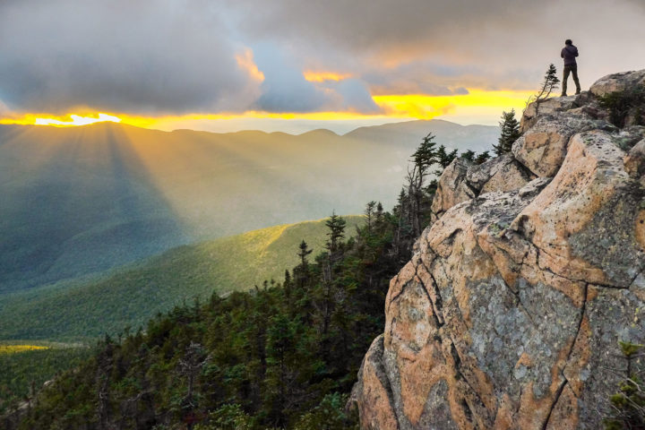
North Georgia mountains are nothing like the rest of Georgia.
The mountains are tall and rugged—the highest peak on the A.T. in Georgia (Blood Mountain) is 4,461 feet—taller than 3 1/2 Empire State Buildings. The lowest elevation is over 2500 feet—higher than any point on the A.T. from northern Virginia to Massachusetts. You won’t find peach trees blooming or peanut farms here! Almost half of the A.T. in Georgia passes through federally designated wilderness.
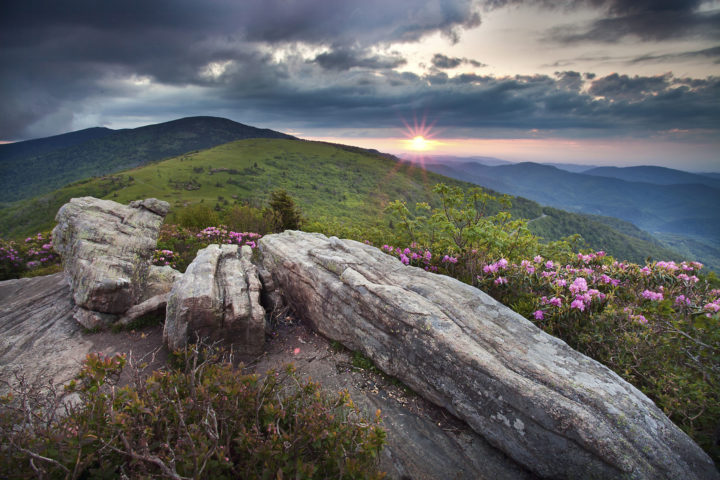
In March and early April the A.T. can be frigid and crowded. Campsites can be very crowded with thru-hikers starting their treks to Maine and students on spring break. Because of the elevation, the mountains of North Georgia can be miserably cold; snowfall and cold temperatures can rival lower mountains a thousand Trail miles north. You can encounter snow from November through March or April. During cold snaps temperatures can dip to single digits.
The Georgia Appalachian Trail Club manages, maintains and protects the Appalachian National Scenic Trail in Georgia with volunteers from its membership and the interested public. The Georgia Appalachian Trail Club promotes the appreciation of the Appalachian National Scenic Trail and natural outdoor places through education and recreational activities, with an emphasis on conservation ethics and protection of the forests, their natural resources and wilderness areas. georgia-atclub.org.
The Appalachian Trail Conservancy is always looking for dedicated volunteers to help maintain the A.T. and assist in our visitor center and headquarters. Opportunities range from greeting visitors and providing information about local hikes to joining a Trail crew for week-long maintenance trips, gaining first-hand experience in what it takes to keep the A.T. open and enjoyable for millions each year. Learn more at appalachiantrail.org/volunteer.
Wide-open vistas beyond the footpath offer respite and are essential to the Wild East.
The iconic bald mountains along the Appalachian Trail in North Carolina and Tennessee are significant to the future of migratory and resident birds.
With the ever-present challenge of dwindling public funding, donations from philanthropic foundations, corporations and individual citizens are crucial.