Why Aren’t There More Bridges on the Appalachian Trail in Maine?

Apr 16, 2026

Apr 16, 2026

This is the first in a new series of stories from the ATC inspired by the NPR segment “But Why?” where we answer your most common questions about how the Appalachian Trail (A.T.) is managed. In this blog post, guest writer Lyla Metheny explores the common question “But why aren’t there more bridges in Maine?” with ATC and Club volunteer experts.
The state of Maine is revered among A.T. hikers for its scenery and for being home to Katahdin, the northern terminus of the Trail. It is also famously known for its rugged hiking, requiring visitors to pay attention to their footing while traversing the remote valleys and ridges of the state and crossing many rivers and streams. This remote nature is amplified by an apparent lack of foot bridges over waterways in comparison to the rest of the Trail, and the cause of this absence is frequently questioned by visitors and hikers.
Hawk Metheny, the Appalachian Trail Conservancy’s Vice President of Trail Management, acknowledged that infrastructure along the Trail is a “core responsibility” of the ATC, but building a bridge isn’t a simple task. Behind the scenes of potential projects, there are permitting processes, as well as design and construction considerations that many members of the public are not aware of.
“There was a period about 30 to 40 years ago when there were many bridges constructed,” Hawk said. “They were built because they could be [at that time], but now it’s much more complicated. We’re more deliberate [with] bridge projects nowadays because we have to meet certain engineering requirements and Environmental Policy Act requirements, [which are] much more stringent than when some of these structures were first built.”
There are two primary reasons for this increase in restrictions, which include concern for environmental damage and the engineering requirements to ensure longevity of a structure. A substantial increase of engineering restrictions due to climate change, as well as Maine’s uniquely remote setting, have made it increasingly complex to place and maintain bridges along its section of the A.T.
“When you construct something on public land, you have to go through a National Environmental Policy Act analysis to make sure that what you’re doing doesn’t cause damage to the environment,” Hawk explained. “Engineering requirements have [also] gotten much more stringent, primarily because of high water events like flooding due to climate change.”
Similarly, bridges can be damaged by ice dams in winter and a high volume of water and debris in the spring following snow melt. Bridges are typically not placed in areas where this type of damage is likely to occur each season.
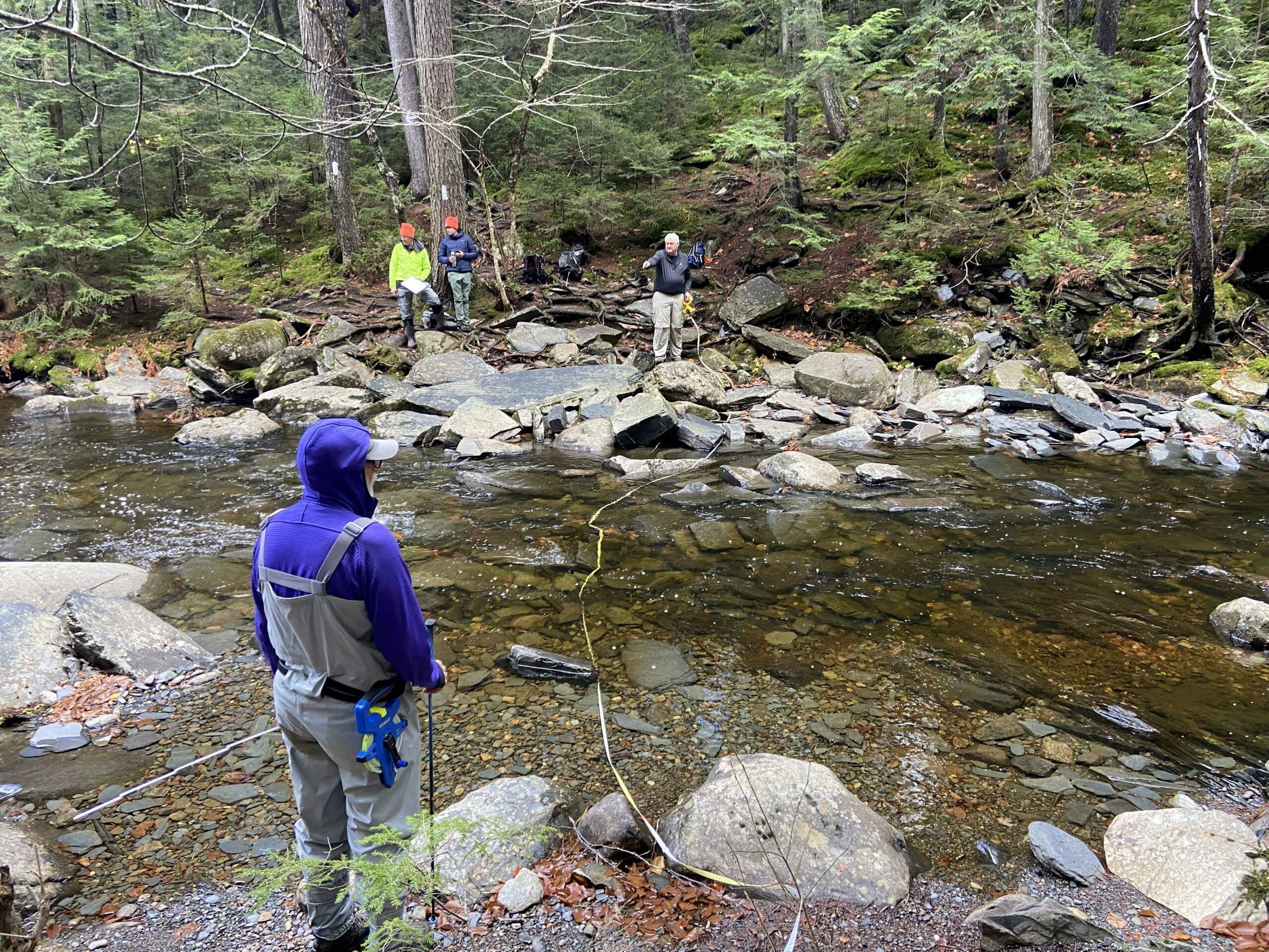
Volunteers with the Maine Appalachian Trail Club and ATC staff assessing the A.T. crossing at Little Wilson Stream. Photo by Leah Beck.
Josh Kloehn, ATC’s Senior Operations Trail Manager, commented that the typical timeline for a bridge project can be as many as five years from inception of the idea to construction, and many factors are taken into account that contribute to the success of a structure, sometimes including expert insight from biologists and hydrologists.
“How do you get heavy equipment in? Do you need a road? Do you need to clear [an area]? How are you going to mix concrete?” Josh commented, listing the questions that must be considered when adding any new structure along the Trail.
In Maine, accessing the Trail with equipment is impacted significantly by the state’s remote nature. Leah Beck, the ATC’s Maine Regional Manager, described Maine as having “unforgiving conditions.”
“It’s remote, and there are certain legal obligations and liabilities to inspect the bridges,” she explained. “If a crossing requires a bridge that’s more than 20 feet, that’s when those engineering standards come into play. And [all of the] difficult crossings in Maine are over 20 feet.”
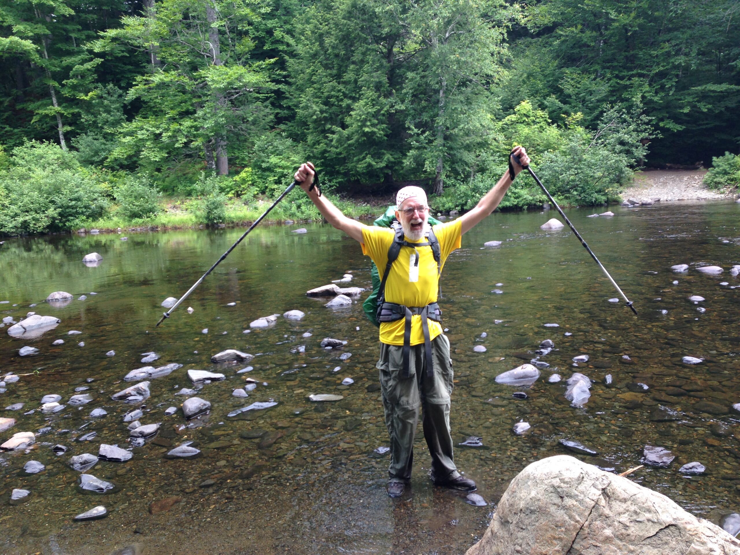
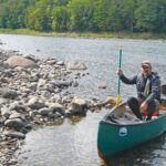
Adair Andrew after crossing the West Branch of the Pleasant River. Photo by Cliff Andrew.
Janice Clain, the President of the Maine Appalachian Trail Club (MATC), explained that much of her work includes the mission to preserve the wilderness experience in the state, which is so valued by hikers. She drew particular attention to the area of Maine known as the 100-Mile Wilderness, which is the longest stretch of undeveloped land along the entire Trail.
“We really want to preserve that wilderness experience and people being on their own,” Janice explained, adding, “Maine has some of the best kept sections of Trail on the length of the A.T.”
The staff members and volunteers at both the ATC and the MATC benefit from an interwoven partnership that profoundly impacts the upkeep of Maine’s A.T. Together with land managers, they have successfully maintained this challenging and beautiful section of the A.T. that continues to provide visitors with a meaningful and wild experience – as they rock-hop across a stream.
While most of the stream crossings on the A.T. in Maine can be safely forded during the regular hiking season, high water events and flooding can occur at any time. It is up to hikers to know how to safely ford streams and know when a stream is unsafe to cross. Learn more on ATC’s River & Stream Crossing page.
The Kennebec River in Maine is the longest unbridged river crossing on the entire A.T. and the ATC provides a free ferry service for hikers to get across the river. Hikers should never attempt to ford the Kennebec as dam releases upstream cause sudden and rapid changes in current. The ferry is the official route of the A.T. across the river.